Words: Liam Friary
Images: Cameron MacKenzie
The backcountry is bloody appealing but damn challenging. The first part of the problem to solve is logistics to and from the desired location. It’s often the far-flung places that are the absolute best. However, that means there’s some graft of planning and travel beforehand. Once there, all that fades and you wonder why you’ve not come sooner.
The Old Ghost Road sits tucked into the Kahurangi National Park in the north-west of the South Island. The remoteness of New Zealand’s second-biggest national park makes it appealingappealing. The ability to pedal your bike in here is next level. The trailhead in Lyell is buried in a valley; mist often shrouds the bush line, so it’s hard to see the tops of the mountain ranges.mountain ranges. The sense of scale is severe, and you can hear the water running down Lyell Creek. This is the first taste of the trail and it holds.
There’s a version of this ride that some accomplished riders attempt in a single, breathless push, just to know they can. Either a relentless grind on analogue bikes or watching battery gauges tick down on eMTBs. Often there’s weather closing in and you’re chasing the finish line against the fading light. Sometimes you’re humbled by a mountain that doesn’t care how good your plan looks on paper.
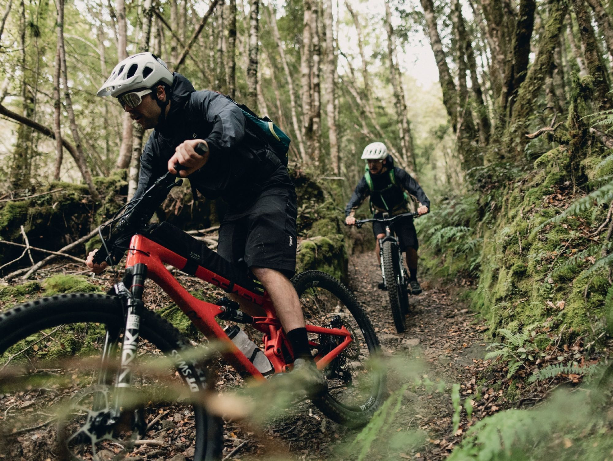
This time, we wanted the opposite: not a race against the Old Ghost Road, but more of a conversation with it. Two days, one night, deep in the Lyell Range at Ghost Lake Hut. No race efforts, no spreadsheet of battery percentages, just the trail, the huts, the conversation, and whatever the weather decided to throw at us.
Some trails are built. The Old Ghost Road was resurrected. Long before it was an iconic bucket- list ride, it was an unfinished promise – a road that gold prospectors dreamed up way back in the 1880s to link the mining settlement of Lyell with the wild Mōkihinui River to the north. A narrow dray road, barely wide enough for a horse-drawn cart, was pushed as far as Lyell Saddle before the money and the gold ran out and the project stalled. On the northern side, miners cut their own rough road up the Mōkihinui to reach the diggings and the small towns that briefly flickered to life around them.
Heck, even the land itself seemed to say no. The 1929 Murchison earthquake and the 1968 Inangahua earthquake tore through the route with landslides so severe that locals joked even the goats wouldn’t cross them. For the best part of a century, the road was exactly what its name suggests: a ghost; a rumour in the bush; a line on a scrunched-up old survey map that nobody quite believed could be finished.
It took a chance discovery to bring it back. A Department of Conservation manager mentioned that a proposed tramping route through the Mōkihinui Gorge had once been part of a longer, uncompleted dray road and not long after an original 1886 survey plan for the “Lyell and Mōkihinui Road” surfaced. That map showed exactly what the old surveyors had intended – a route following the Mōkihinui River and climbing over the Lyell Range to the old township site. Two locals, Marion Boatwright and Susan Cook, who’d recently bought land near Seddonville, couldn’t let the idea go.
They formed the Mōkihinui-Lyell Backcountry Trust in 2008, and what followed was close to a decade of volunteer hard graft surveying, hand-cutting, and bridging some of the most unforgiving terrain in the country. Funding from the New Zealand Cycle Trail, alongside thousands of hours of volunteer labour, made the impossible project real.
As with most of these projects, people were divided. Conservationists objected to the felling of significant trees and to cutting a track through the previously untouched Lyell Range, while sceptics doubted the route could ever be ridden at all. Even a hydro dam nearly changed the story entirely: a power company had proposed damming the Mōkihinui River and backed the trail project partly to win over local support, before abandoning the dam plan in 2012 and leaving the river fully protected.
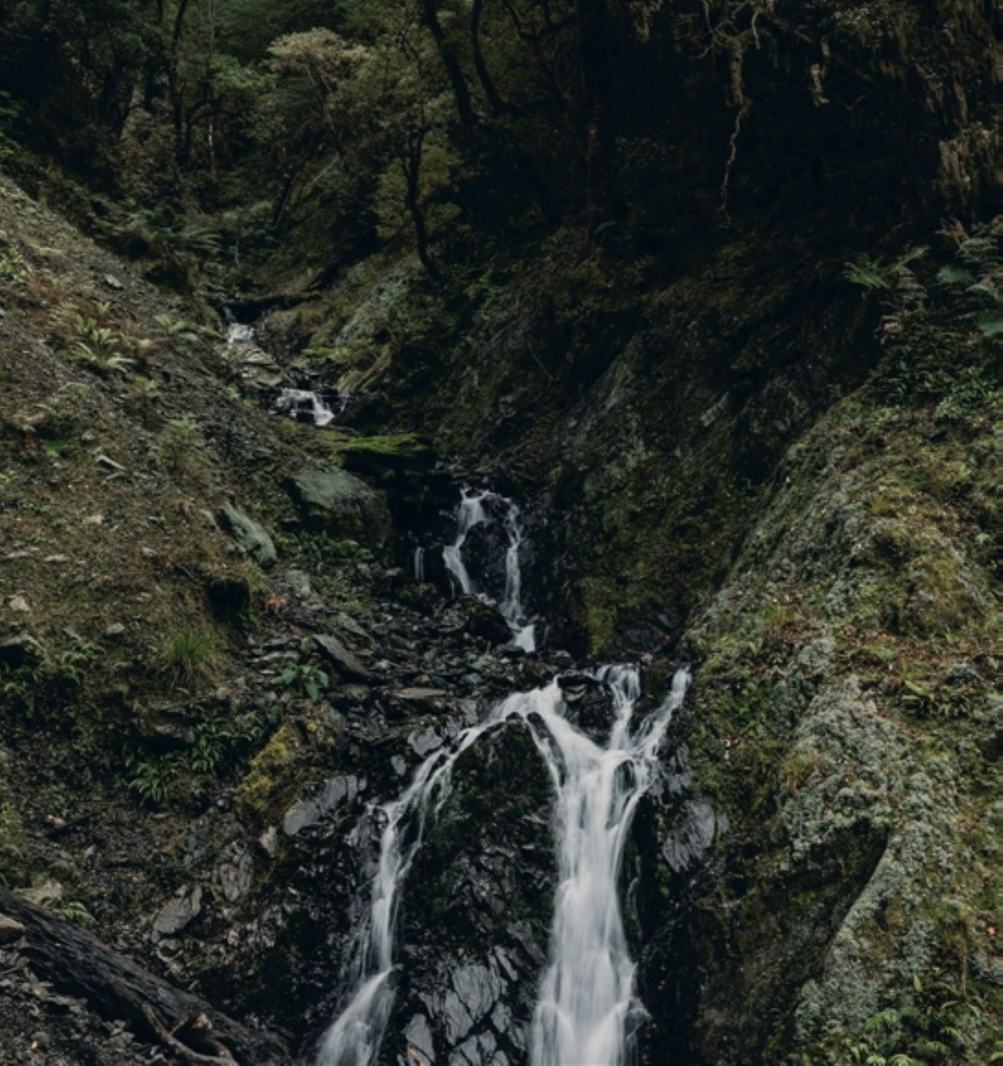

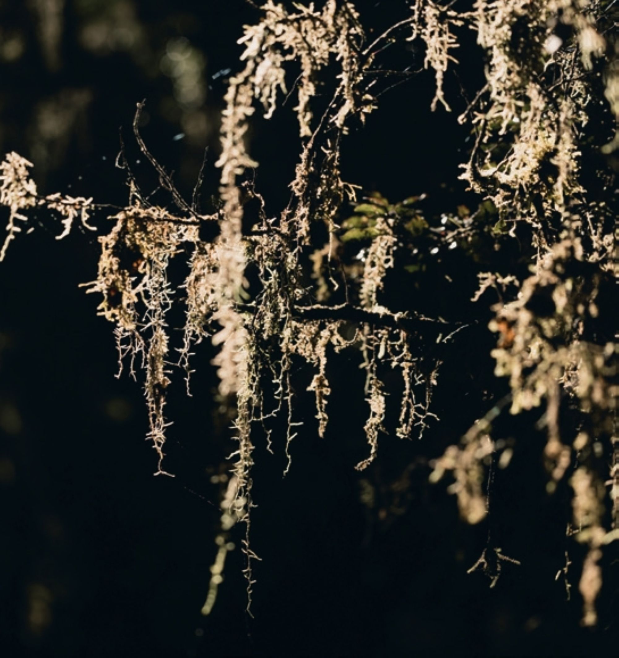

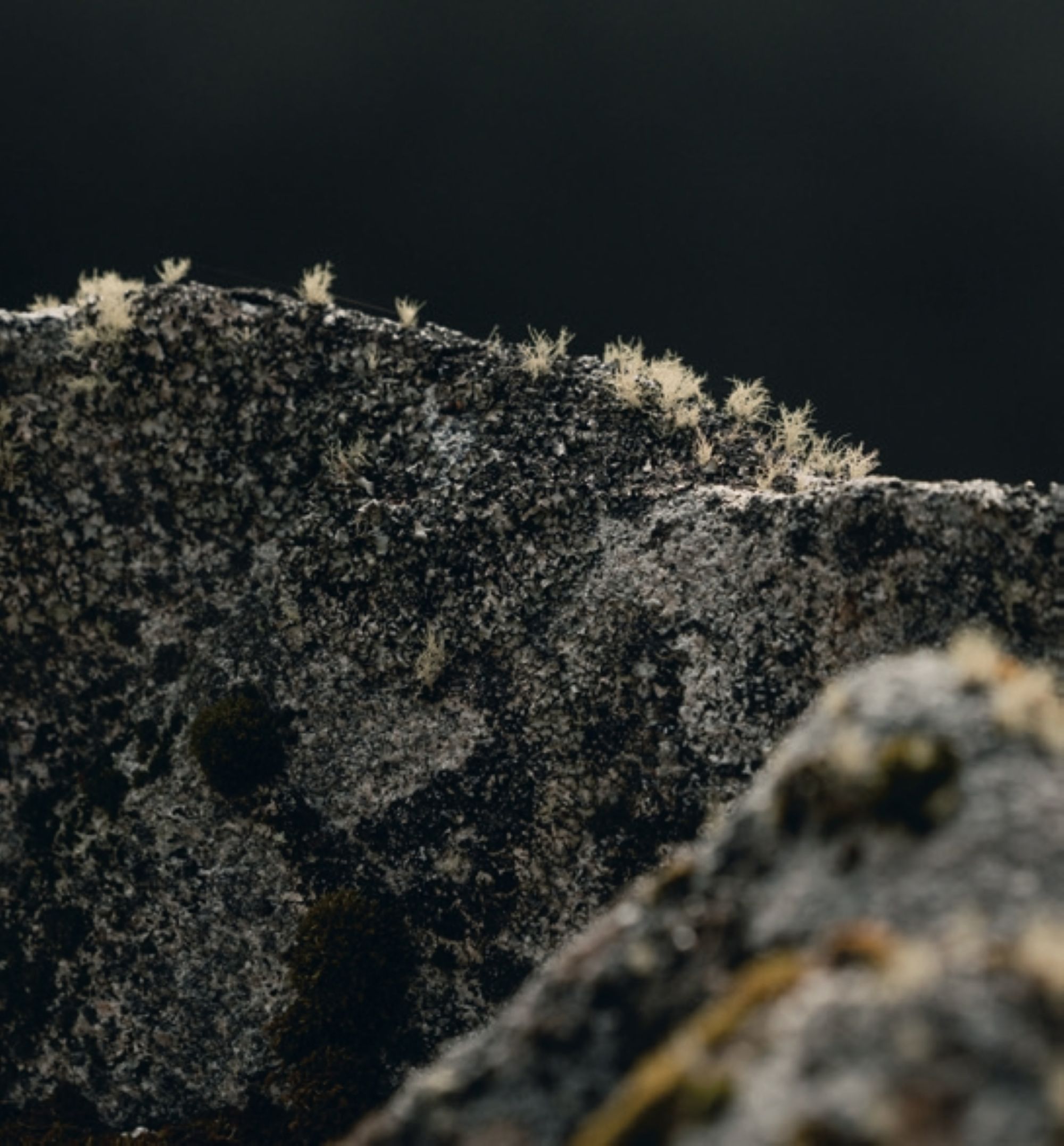
The Trust finally completed the route in December 2015, folding it into the New Zealand Cycle Trail, and went on to build and maintain four backcountry huts along the way, alongside the Rough and Tumble Lodge. A road that had sat unfinished for well over a century was, at last, whole. The best part is that it’s accessible for us all, riders and walkers, and the well-thought-out huts on the route provide everything you need to be comfortable in the wilderness.
The numbers alone hint at what you’re signing up for. The Old Ghost Road runs 85 kilometres through the Buller District, climbing to a high point of 1280 metres, and carries an advanced Grade 4 rating. With more than 2600 metres of total ascent, it’s regarded as the longest stretch of uninterrupted singletrack in the country.
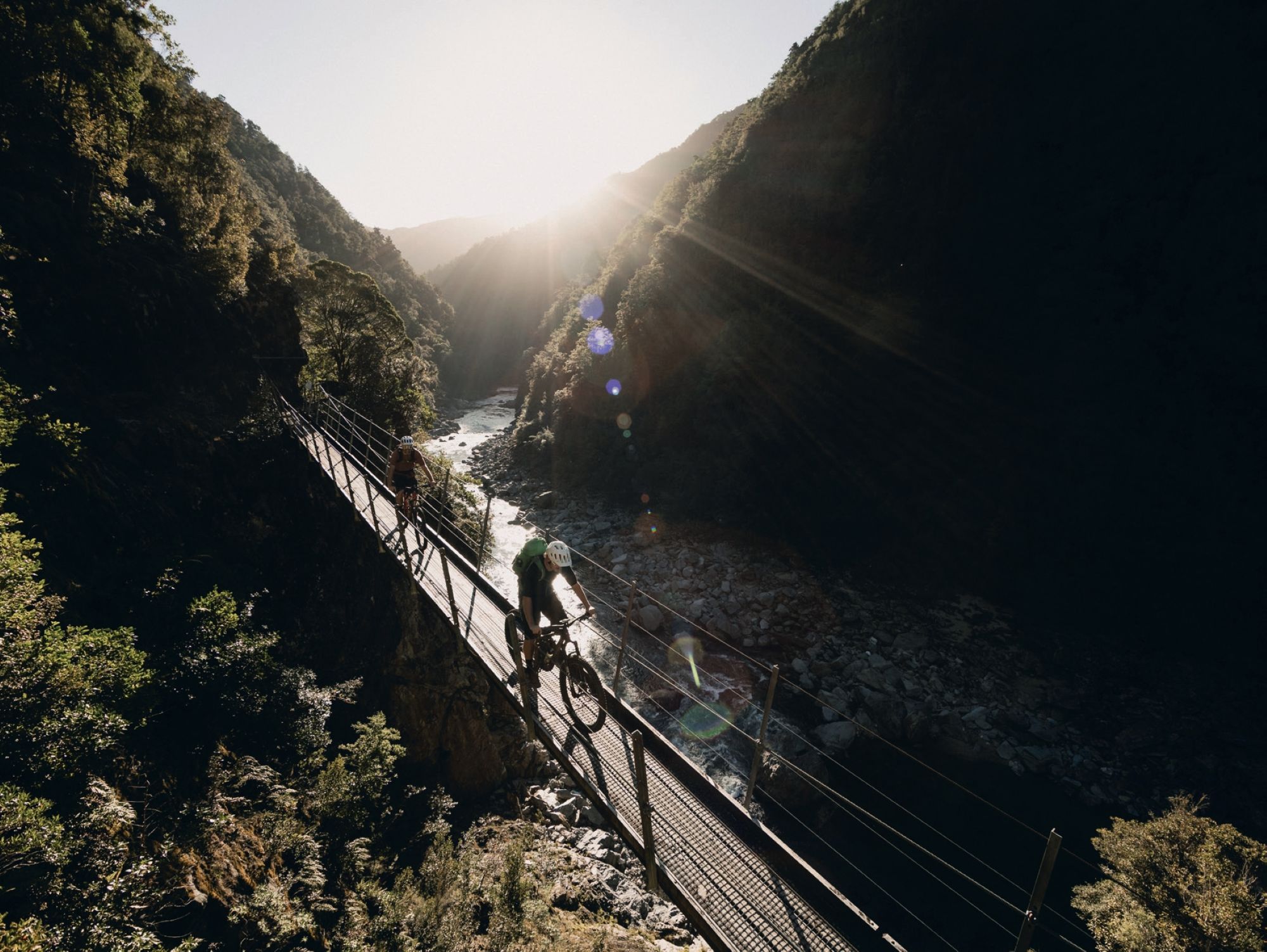
It’s not just long, it’s engineered like nowhere else. Having been purpose built as a mountain bike route – despite its rugged setting – the track is fully benched with an easy, consistent gradient. And with fourteen bridges it’s close to floodproof. That’s the quiet genius of the place: a trail tough enough to demand respect, built precisely enough to let you enjoy the daunting terrain.
Six huts punctuate the route: Mōkihinui Forks and Goat Creek are free, DOC-managed huts, while the other four are run by the Mōkihinui-Lyell Backcountry Trust and must be pre-booked and paid for. Ghost Lake Hut, perched where the tops fall away into thin air, is the jewel among them. Unlike a lot of DOC- managed backcountry stretched thin across a huge national network, the Old Ghost Road largely funds its own upkeep through hut and lodge bookings, which means the bridges, the benching and the huts themselves get looked after properly, year after year, rather than waiting on whatever’s left in the annual budget. The land the trail moves through has only grown in stature since. In 2019, the Mōkihinui River catchment – more than 64,000 hectares, including 15 kilometres of riverbed – was folded into Kahurangi National Park, the largest expansion of an existing national park in New Zealand’s history, unifying most of the Old Ghost Road under national park protection. This isn’t just a trail – you’re pedalling through one of the country’s great conservation assets that continues to tell a story.
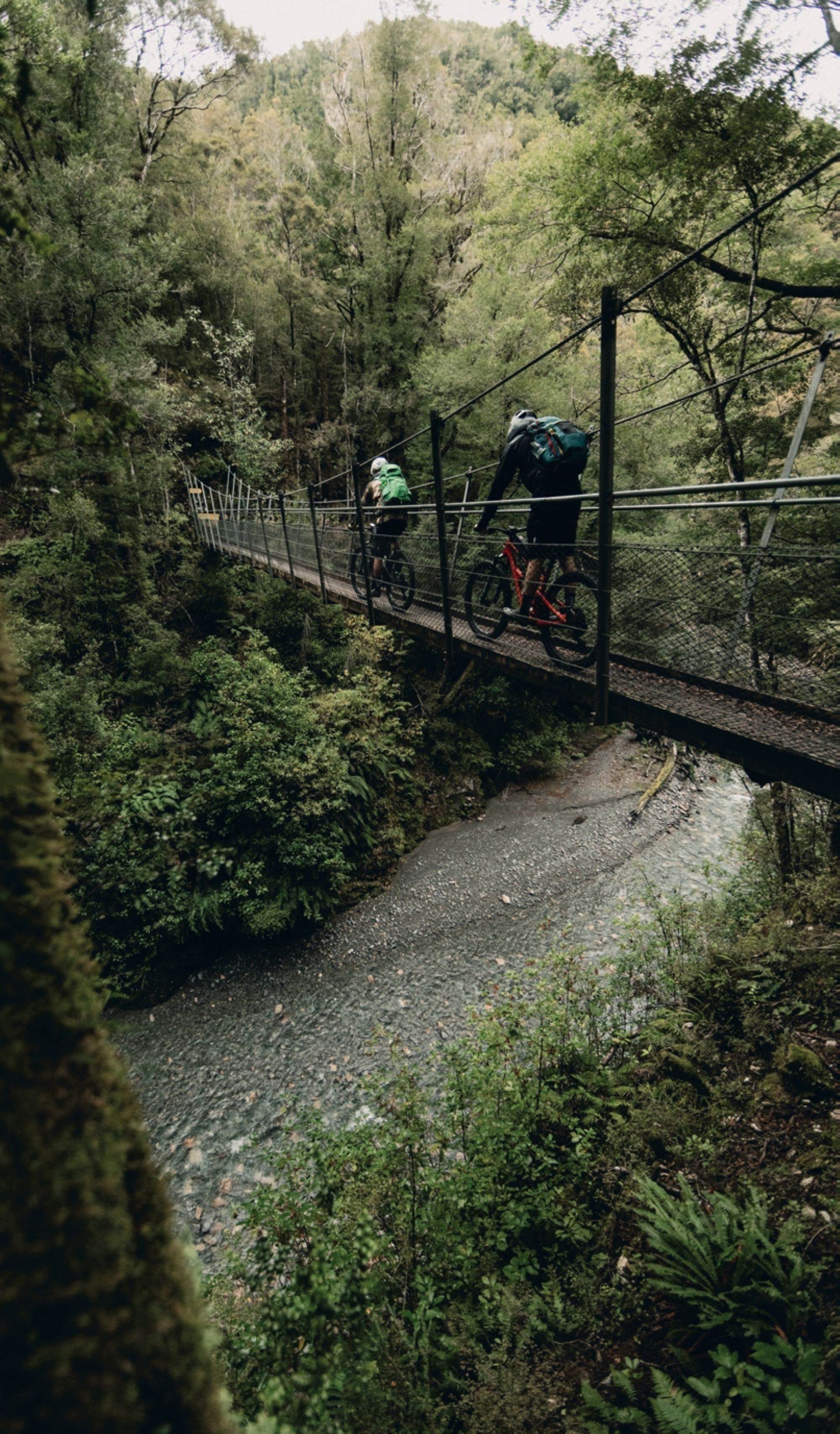
Relics of times gone by can be seen within a few pedal strokes as you head over the first swing bridge and start the long ascent to reach the mountain tops. The old town sits on the other side of Lyell Creek. It’s hard to even fathom there was even a town buried in the bush on a steep plot of land as the trail winds through thick native forest, past the scars of the old road-building attempts, past a rusted anvil left by road crews who gave up the ghost more than a hundred years before we arrived to finish their work for them. The ghost town comes with its own cemetery – times back then were tough, and life spans were short. The town built on mining tells stories of people trying to make it work for themselves and their families. Then, as it often does, the dream comes to a crashing end, and people vacate for the next opportunity.
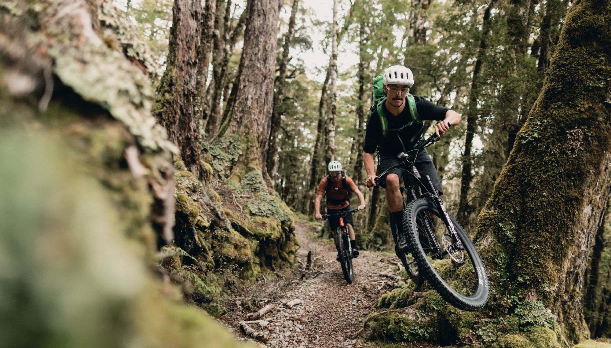
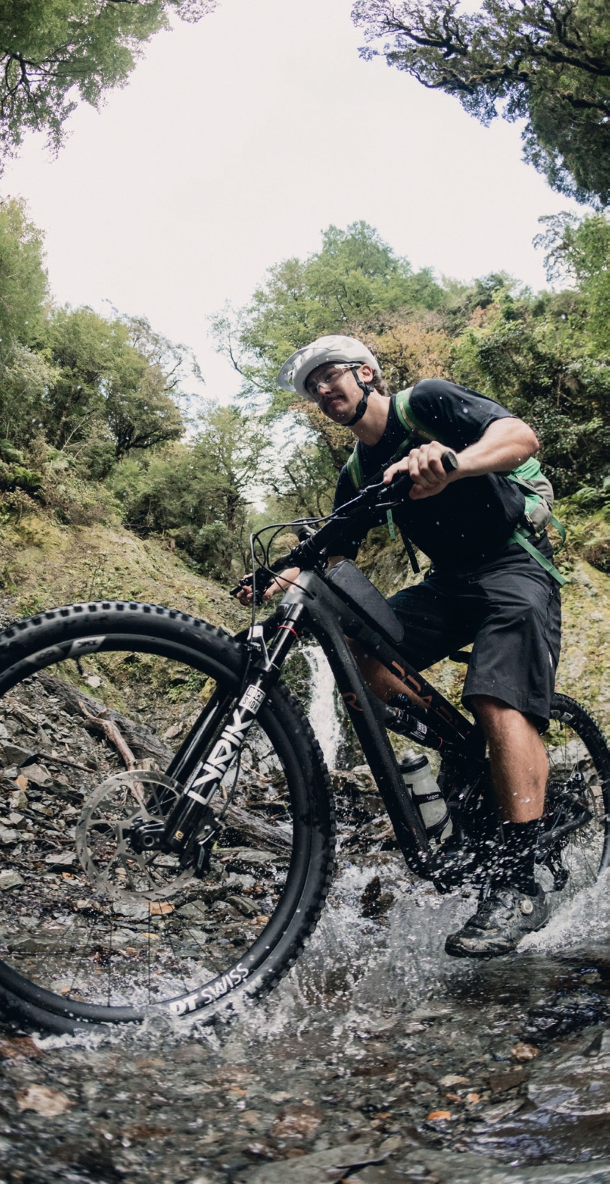
The dense bush encloses most of the singletrack for a large portion of the climb from Lyell. There are glimpses of the surrounds from either side, and you get to see the sheer scale of the environment. Some of these openings are from recent weather events where slips have come down. As the singletrack zigzags its way up the mountain ridges, there’s plenty to keep you entertained, from the fauna and flowers, relics from the old road, and plenty of waterfalls with a few water crossings. By the time the bush thins, and the tussock tops open, you understand why they call this section a climb into the sky. Lyell Saddle Hut sits at 875 metres, a natural place to catch your breath before the trail keeps climbing.
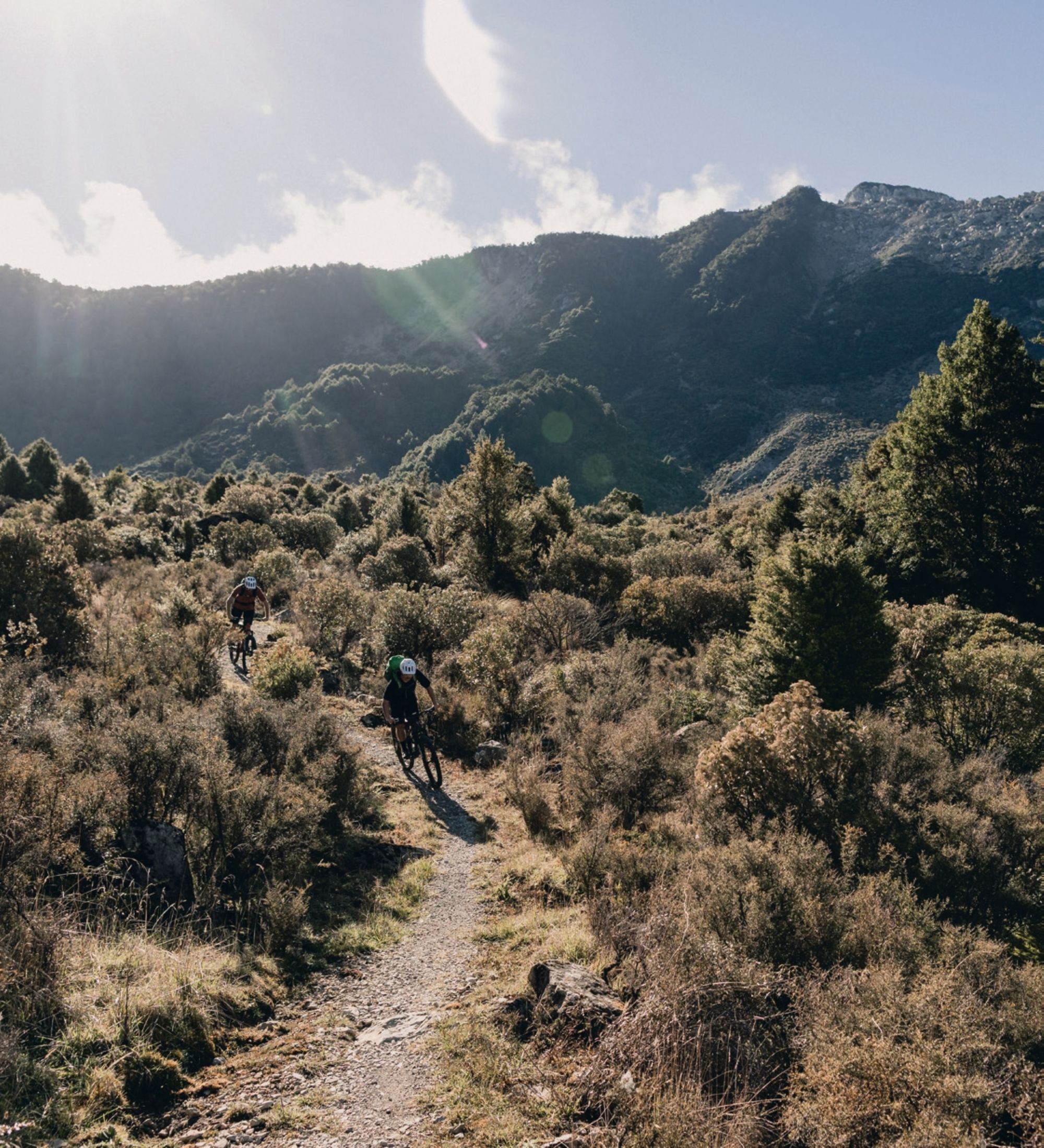
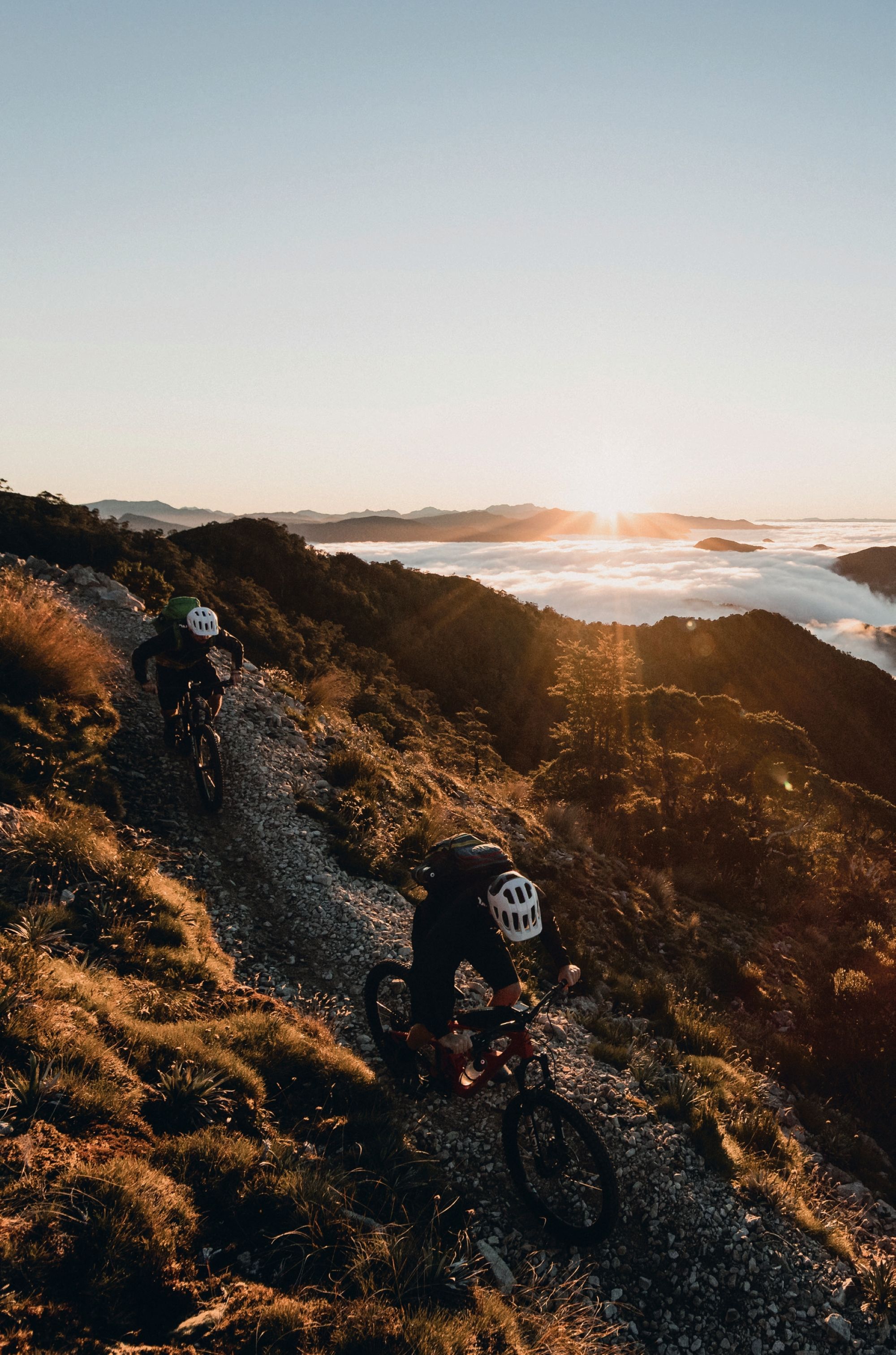
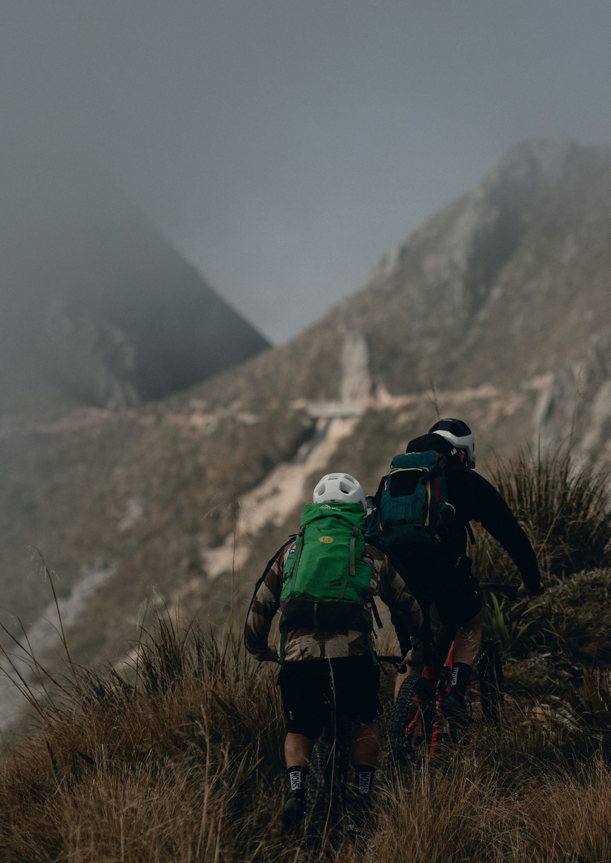
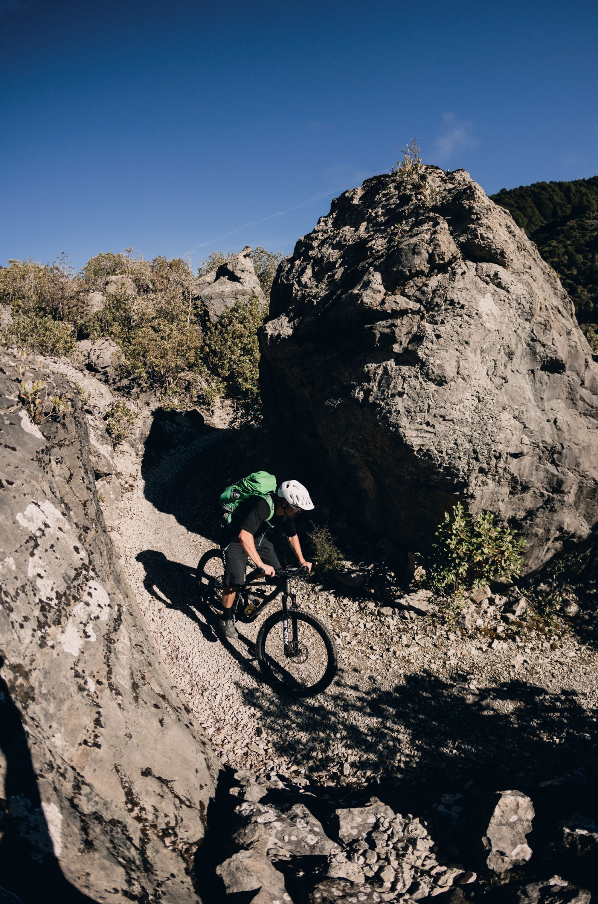
It’s only after you get out of the bush line that you start to know about your effort, and the terrain in front of you completely changes. The green bush turns to golden tussock, and the mountain faces become apparent. Apparently, back in the day, they used to farm up here. As you get to the highest point, you can see the trail etched into the side of the mountain – literally. It’s here where the trail earns its reputation, threading along the exposed tops of the Lyell Range, past Rocky Tor, with views that don’t let up, so much so that you get distracted from riding. However, this section demands your attention with its exposure.
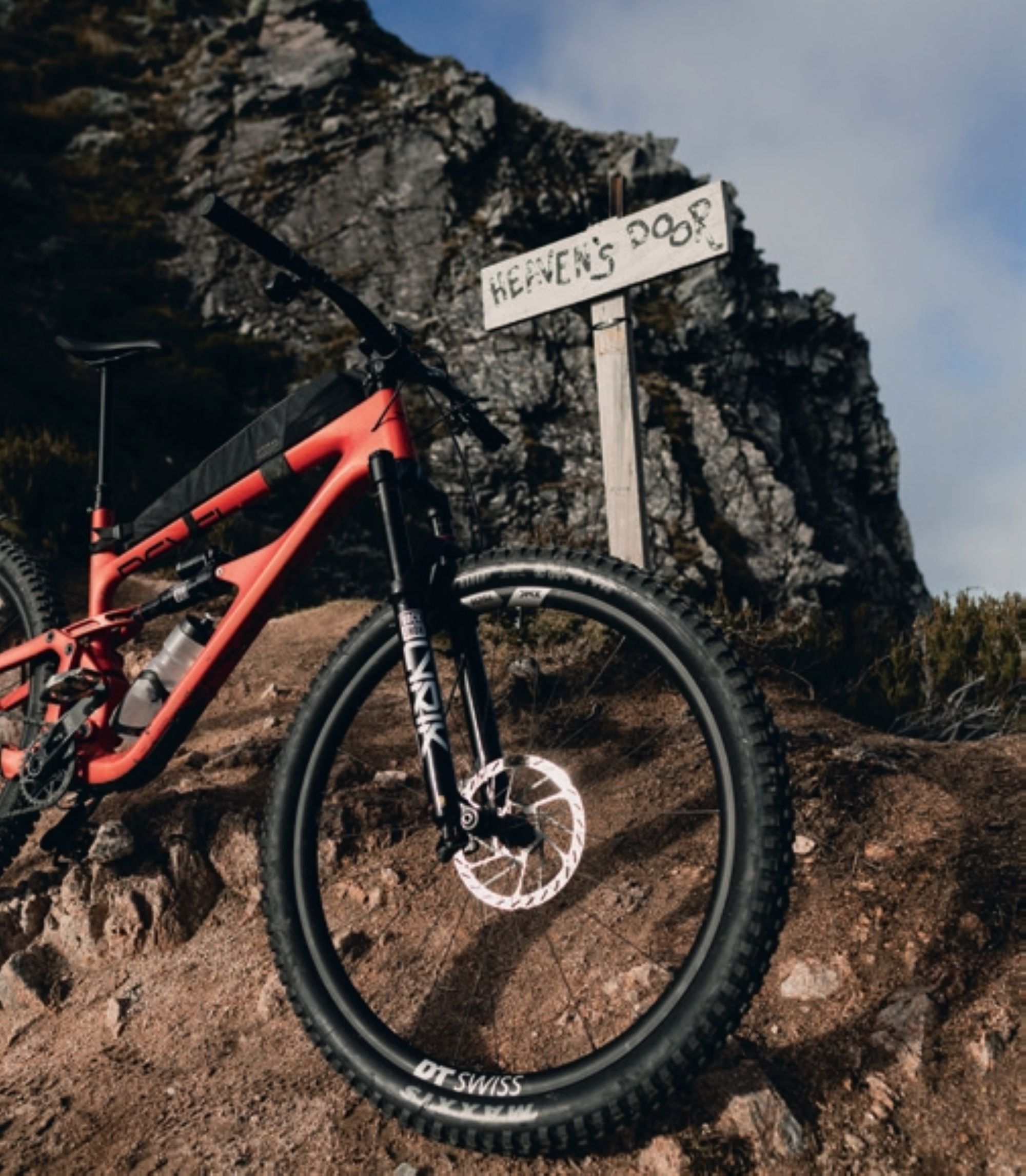
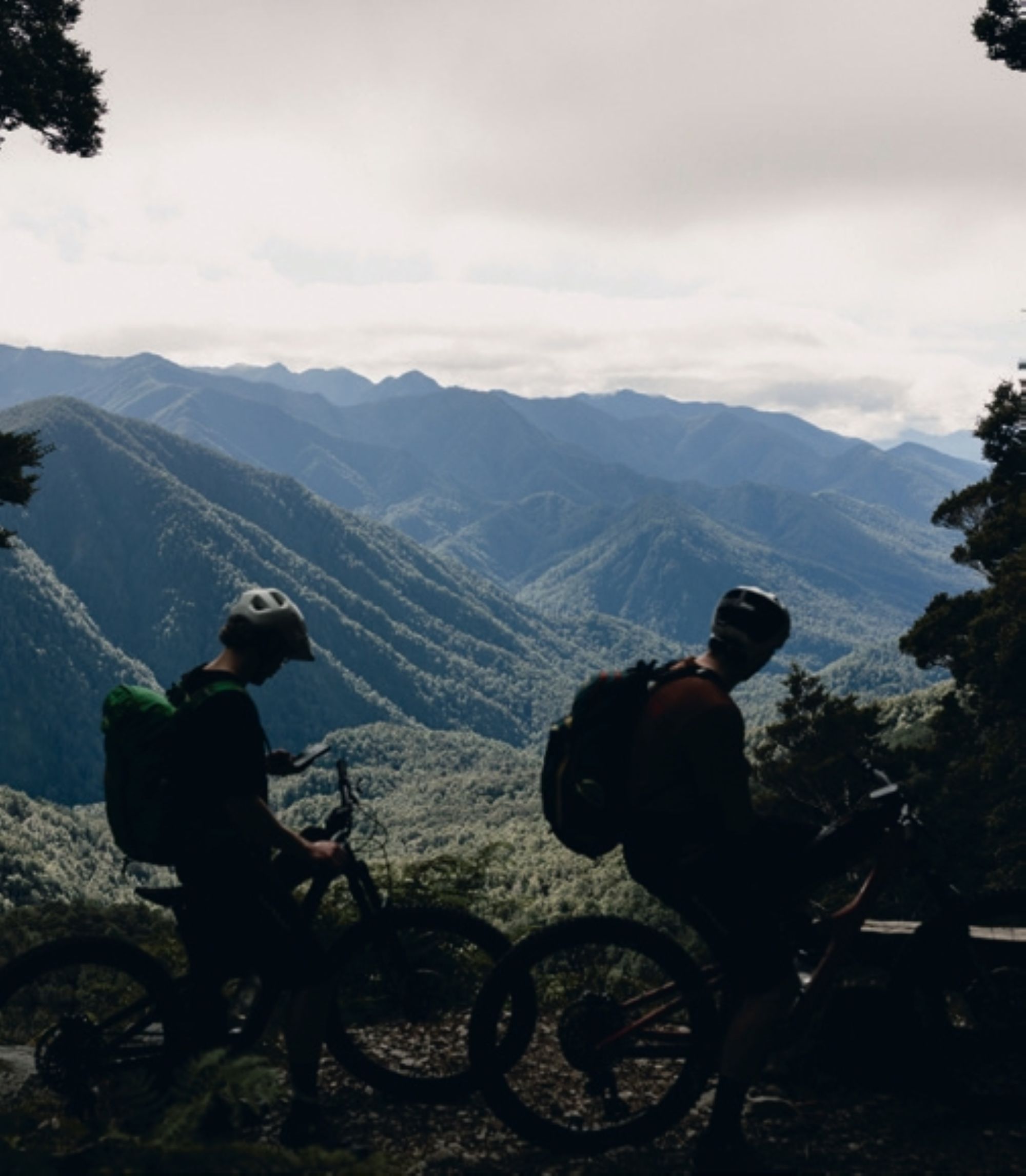
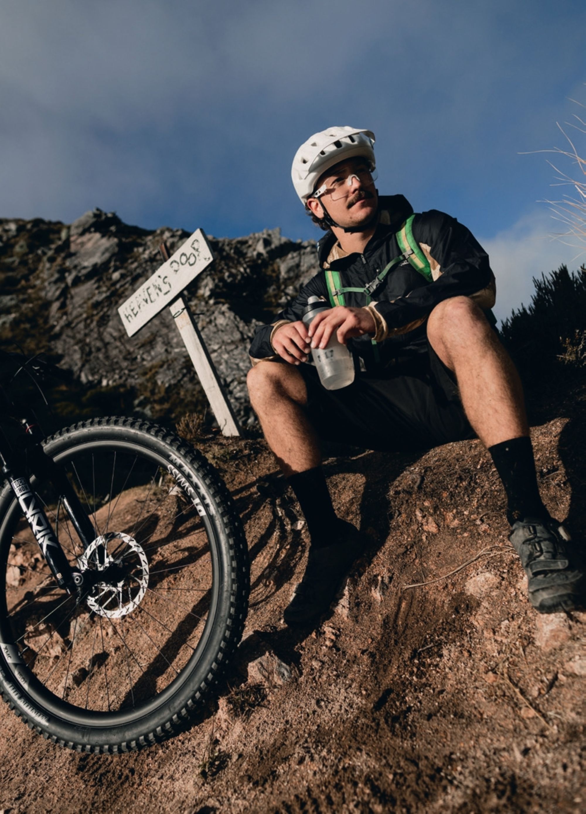
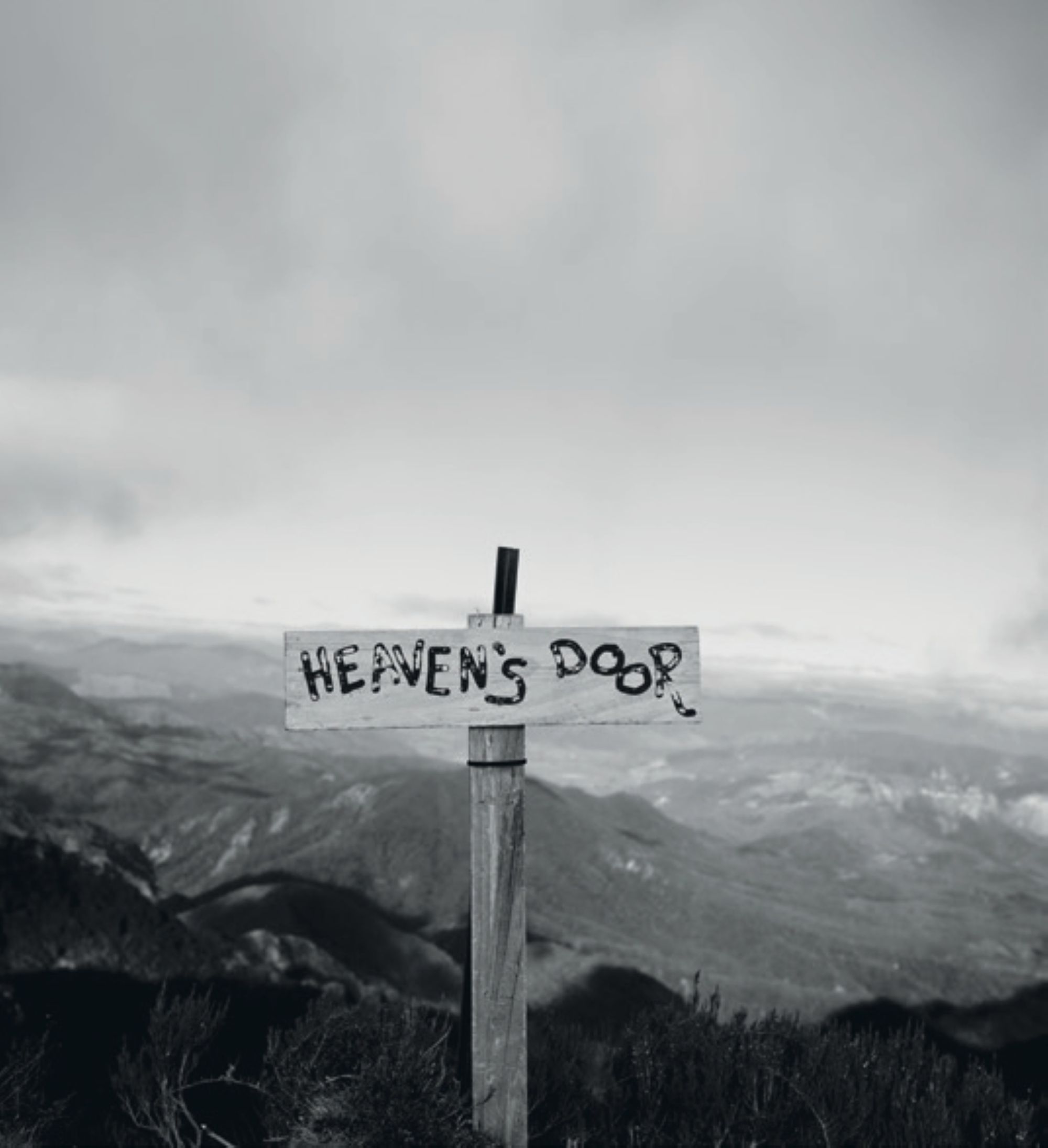
The short descent brings you to Heaven’s Door, which offers views of both sides, Tasman to the west and Murchison to the east, through a small gap on the rocks. This is the ideal spot to stop, take it all in, get a few snacks in and just be present. Endless layers of native bush rolling into the distance, mountain ranges stacked on the horizon, weather visibly moving across the valleys below. This is one of those moments you must be standing there, wind in your face, to really understand it. This is what we came for.
From Heaven’s Door the trail narrows again, hugging the ridge as it drops and climbs in short, sharp bursts. The first day is almost done at this point, and there’s a certain all-day-ride fatigue mixed with anticipation as you know the hut’s close. However, the range keeps folding in on itself, hiding it until it doesn’t. Then a short, tight, dark and dense stretch of stunning bush brings you into the clearing where the hut, camp and toilets are perched on the side of a mountain. Sitting high above the bushline with nothing but ridgelines and sky for company, it feels less like a hut and more like a lookout post at the edge of the world.
The joy of getting to a place like this is knowing it takes effort. Through your head there’s a lingering thought about whether we’d make it in time, and how it had taken longer than it should. You don’t need to fight it, but rather lean into the moment. And even though you’re not in a rush, getting to Ghost Lake Hut, unpacking your bags and rolling out your sleeping bags feels so good – maybe because you know once you arrive, the riding’s done for the day. Up here there are birds, wind, and the subtle changes are noticed instantly. At 1200 metres there’s nothing between you and the weather, and you notice it as the temperature drops, the sun dips behind the ranges and the sky changes colour.
The night is often mixed with you cooking freeze-dried meals, chatting with strangers, watching the stars, looking at the intense mountainscape under the night skies, and hitting the hay early. The certain simplicity is welcome.
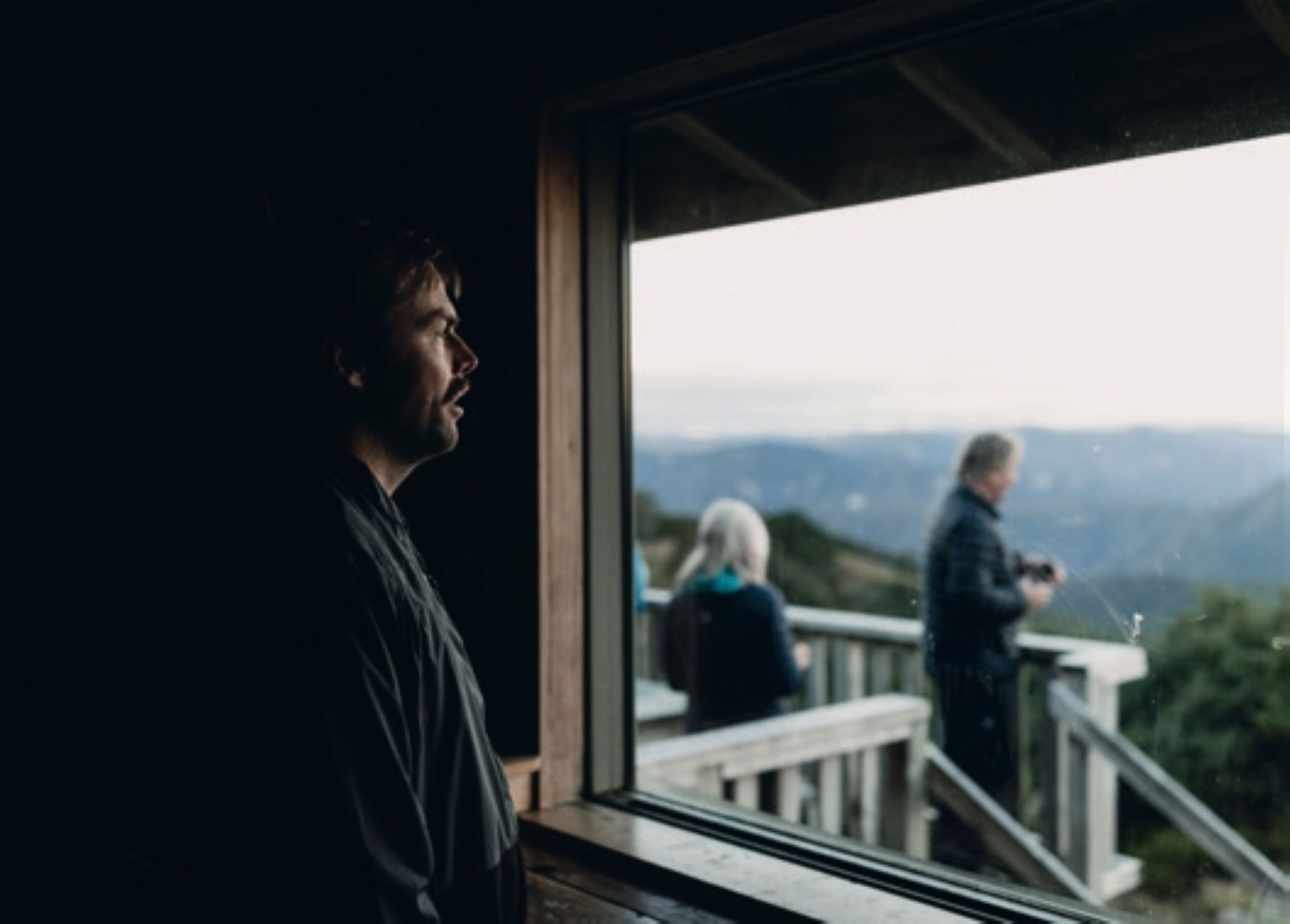

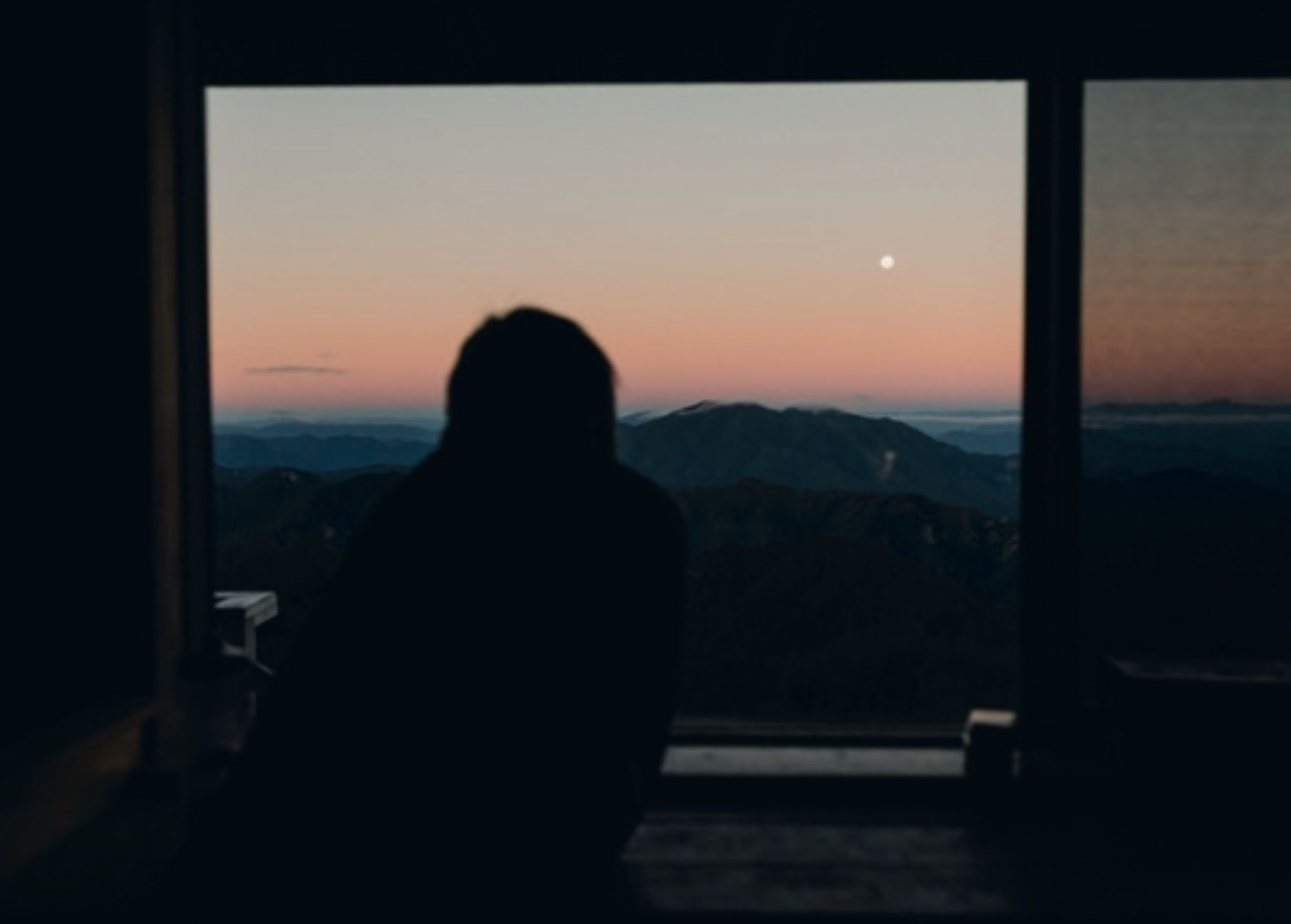
There’s a particular kind of privilege in staying somewhere like this overnight, rather than riding through it. The day-trippers and the one-day- enders pass through at pace, snap a photo, and keep moving – chasing daylight, chasing battery percentage, chasing the finish line. We had nothing to chase. We watched the light change over the range for hours. We watched the first stars come out over ridgelines that gold miners once tried, and failed, to tame. It’s hard not to think about the miners who tried to push a track through this exact stretch of range, well over a century ago, with nothing but lanterns and grit. There’s something humbling about looking up at the same sky they would have, from more or less the same ridge, having failed at the thing you’re now doing for fun.
Morning came slow and unhurried. The cloud buried the view, the window inside the hut had condensation, and the hut’s fire was still ticking as it cooled. There was a full day of riding still ahead, down through Skyline Ridge, its name entirely earned, and into the long descent toward the Mōkihinui Gorge and, eventually, Seddonville. But that descent, and everything the second day held, felt different this time. Not a countdown. Not a battery percentage dropping toward zero. Just a trail, unspooling exactly the way its original builders always intended it to, with plenty of descending all the way to the end.
There’s the most technical section of the trail, Skyline Steps, and it dances left and right on tight switchbacks before dropping you back into the bush line. Up here you’re on a mountain spine, and the clouds come and go within an instant. The morning meant there was still thick cloud around, adding to those sensory elements. Once you start descending, there’s a moment on the section when you can almost let the trail’s natural landscape get the better of you and, all of a sudden, you need to pull the brake lever hard. The stoke is high, and it remains so for the next wee while.
The Stern Valley hut comes up quickly; you’re now on the valley floor, and there’s a major climb before you can get out towards the Mōkihinui River. The pedals keep turning, the snacks keep getting consumed, and the chat comes and goes depending on fatigue level. The sheer expanse of this section is bloody immense. There’s nothing but beauty here, and it makes you think about how special conservation zones are. I mean, most of us reside in concrete jungles, and out here there’s not one building – it certainly makes you appreciate it.
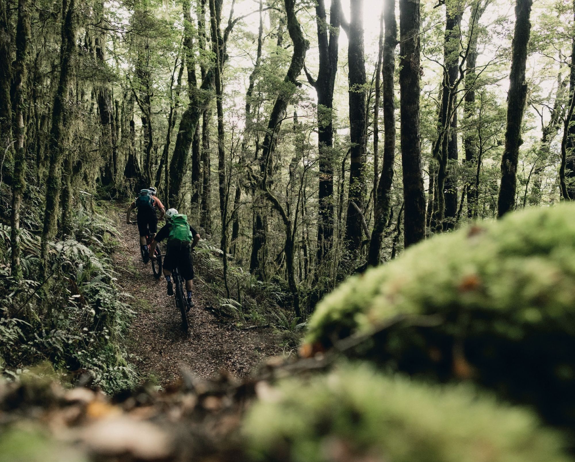
The Boneyard climb zigzags its way up a scree slope before rejoining with the dense bush and descending into tight singletrack – the best kind when you’re deep inside the backcountry, knowing you’re deep into the second day and the effort it takes to ride this certain part of the trail. The reward is being buried in ferns, fauna, and thick old trees as you weave between them. The speed across the flatter sections is fast enough that you’re going somewhere, but slow enough for you to take in the environment. It’s truly something to be able to pedal a bike through this immense and bloody impressive national park.
The flat run into Seddonville is where the trail’s undulations stop, but it still takes everything from you. The terrain isn’t overly hard; it’s more the past two days of riding taking their toll. But there’s a certain tired satisfaction that comes with it. The Mōkihinui River runs at a ferocious speed as you hug the cliffs and swing bridges above it. Whitewater rapids, rocks and steep, fern-lined terrain on the other side offer a splendid picture. This part of the world sees a fair amount of rainfall, and the Mōkihinui River is a striking reminder.
As you head out, it sinks in – you’ve ridden the whole thing, end to end. I found myself looking back over the days and was thankful it went smoothly. It was over, but I longed to do it again, even though it was only just over. It reminds me that staying present in the moment is what’s needed out here. The tired satisfaction came over me as I kicked off my shoes at Rough & Tumble Lodge.
Rolling up at the end of the trail to this lodge buried in the bush on the edge of the Mōkihinui River still feels like you’re on the trail, albeit with a touch of luxury. The hot shower is one of those things you can’t really describe as you wash the dirt away from the last two days. Scrubbed up, drink in hand, and a hearty dinner served whilst the fire roars inside a wooden lodge – it feels right after the ride. Not because the trail was hard – though it was – but because you gave it the time it deserved, instead of racing it.
The Old Ghost Road doesn’t just test your legs and your nerve – it asks you to sit with a hundred and thirty years of failed ambition, quiet obsession, and eventual triumph. Every bridge, every bench cut into the hillside, every hut window framing an impossible view is proof of two different generations refusing to let a good idea die. The gold miners started it. A handful of stubborn locals finished it. All you have to do is ride it, and maybe, for one night, or two, stay a little longer than you planned.